Flat and Fine
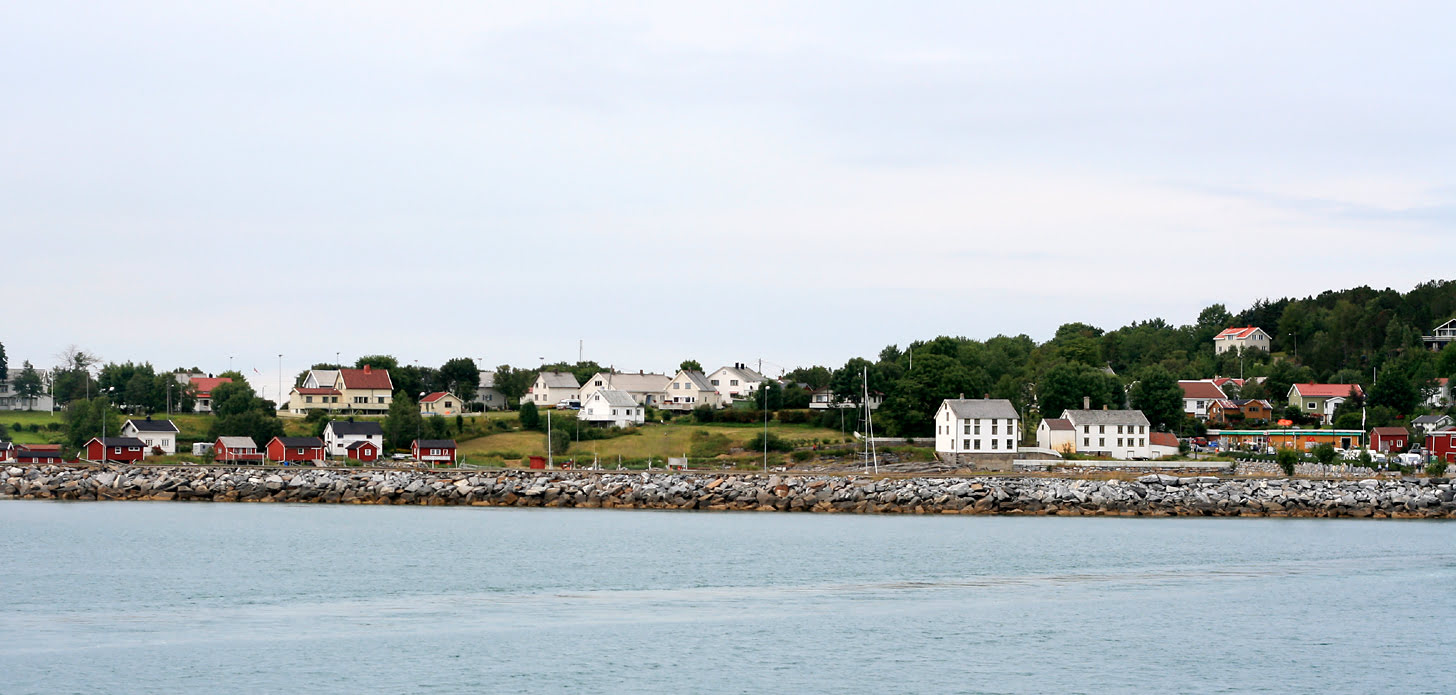
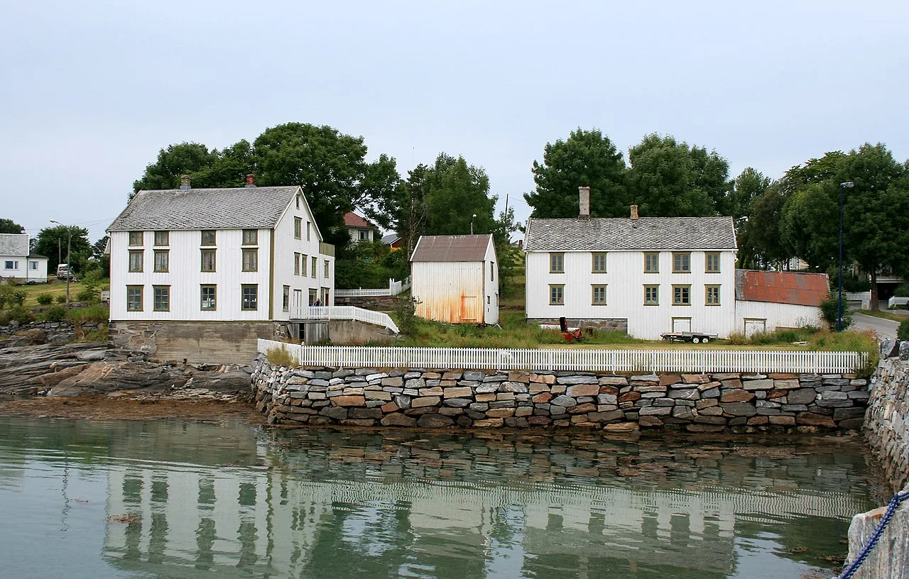
The village is called Tjøtta, and so is the island it's located on. Tjøtta lies west of the mouth of Vefsnfjorden in Nordland. The island, just over 11 square kilometers in size, is flat and low. The highest point is only 77 meters above sea level; it's quite flat by Norwegian standards.
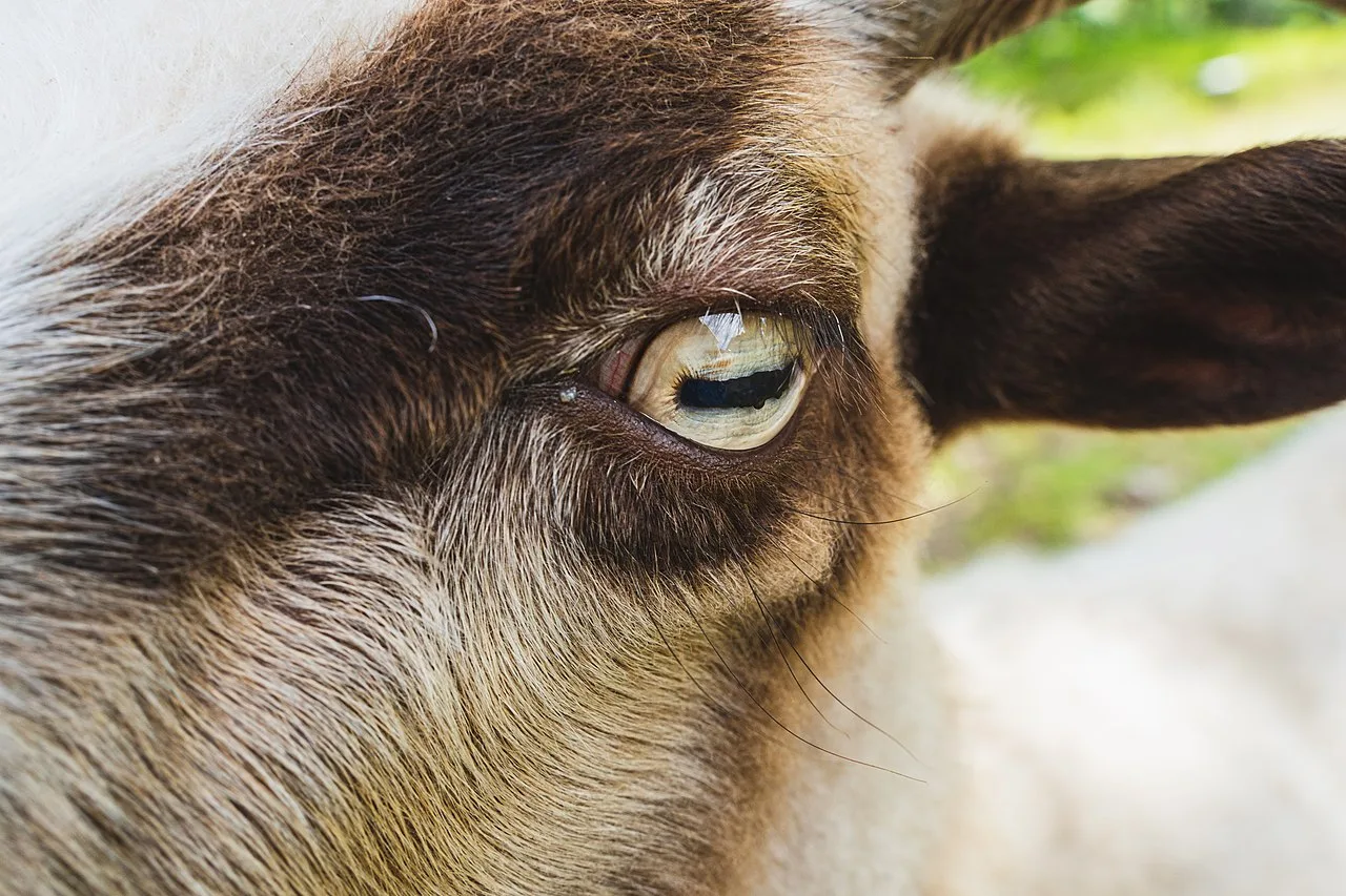
The flat terrain has always made it attractive to engage in agriculture here. Not least because the climate is mild compared to most other places in Northern Norway. A good summer is also crucial for those who cultivate the land. Many of the residents are involved in farming and fishing.
Old History
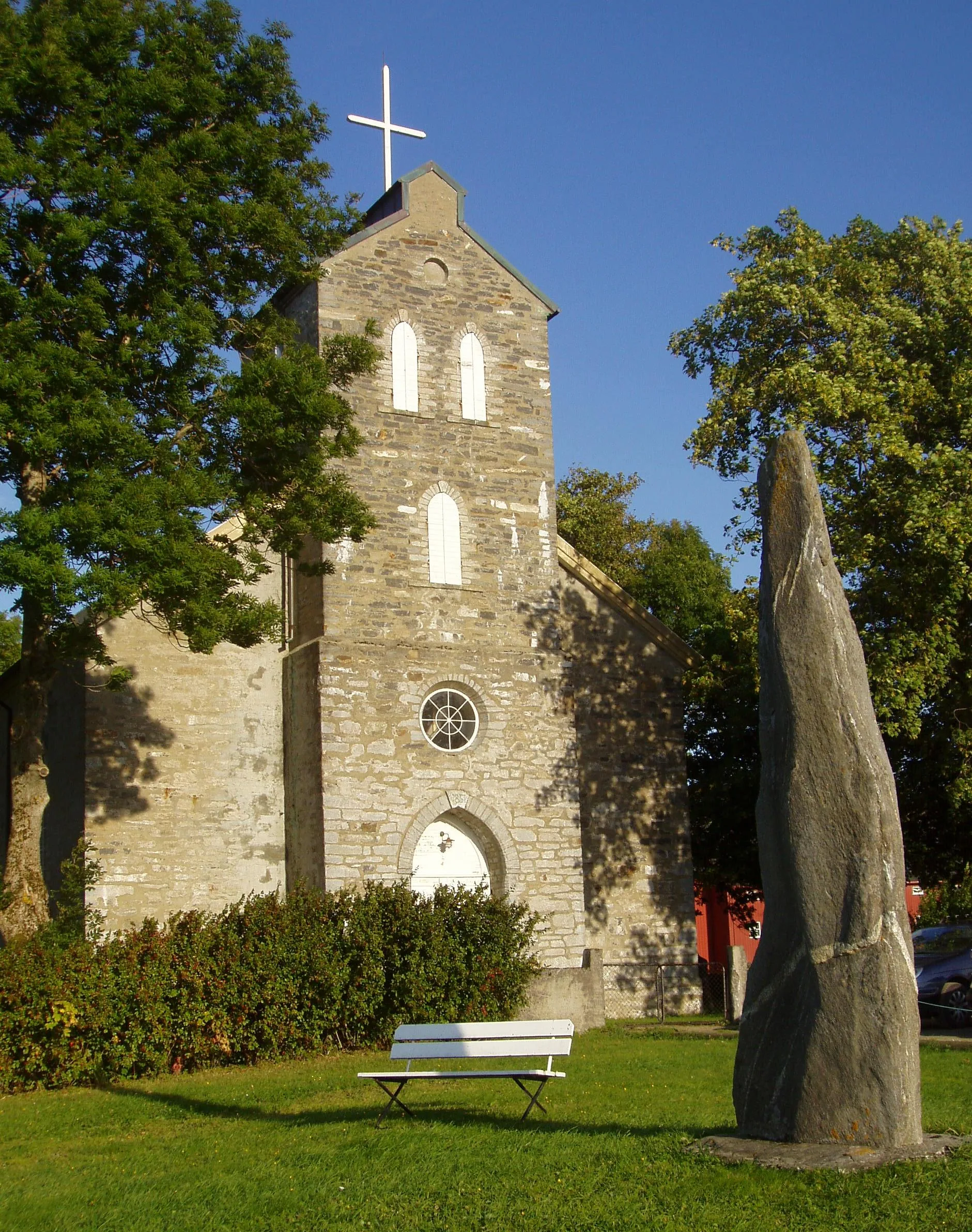
Tjøtta has a rich history to offer. Here, you can find burial sites from the Roman period, the younger Iron Age, and the Viking Age.
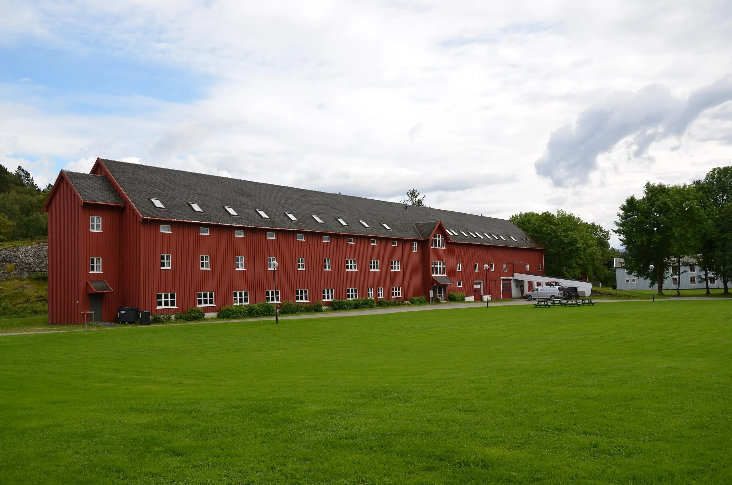
Tjøtta is prominently featured in the Heimskringla, where it is noted as the home of Hårek of Tjøtta, a notable leader of the peasant army that clashed with Olav Haraldsson at the Battle of Stiklestad and killed him. Additionally, archaeological findings provide evidence of Iron Age agricultural practices in the region. Notably, Tjøtta gard, the largest medieval farm in North Norway, is situated here, further adding to the area's historical significance.
Also historical are Tjøtta Soviet War Cemetery and Tjøtta International War Cemetery, containing over 7,500 individual graves for Russian prisoners of war.
Tjøtta is indeed a village that both looks to the future while preserving the past. Plus, it’s a beautiful place surrounded by wild nature.